
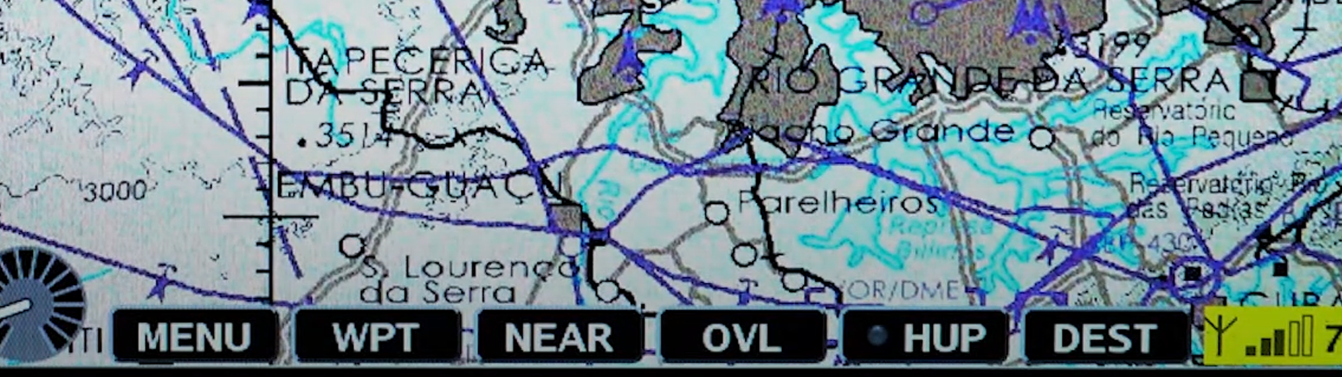
AvioScout-Mission Moving Map
AvioScout-Mission is a Digital Mission System optimized for helicopters and for use by law enforcement and rescue operators. Its primary purpose is to display moving maps and aid in navigation as well as to support the mission with special tailored functions.
Basic Software Functions
Display of pixel maps and vector maps (with streets and house numbers).
Simple zoom with rotary knob (automatic map change).
Display in North-up or Heading-up mode.
Heading-up mode: current position displayed in lower third of display so more area ahead is visualized.
Speed vector depicted with its length indicating the range for the next two minutes.
Flight path recording (trace). Recalled for display or export for printing and documentation.
Display of track, ground speed, bearing ETE and ETA and remaining distance.
Waypoints and Routes
Address database (towns, streets and house numbers)
Airfield database
User defined Points of Interests (POIs) can be grouped in as many lists as required.
Setting of waypoints using database, coordinate input or simply be moving on the map.
Home function: predefined waypoint setting.
NEAR function: select nearby landing places in case of emergency.
Man Over Board (MOB): store present position and recall later to set a waypoint.
Last 50 waypoints are automatically stored and can be easily recalled.
-
Easy to use
Full situational awareness for pilot and mission control center
Compact system standard 160mm width
Simple to install
Affordable for your budget
Shorter reaction time
Error and workload reduction
Better vehicle utilization by avoiding empty flights
-
Dimensions: 160 × 136 × 90mm
Weight: 1.5kg
Display: 6.5”, 640 × 480 pixels, 700 nits, sunlight readable
Integrated GPS+GLONASS Receiver
Integrated Iridium Data Modem
-
ETSO C113 approved.
DO-178 level D qualification.
-
Airports
Air Traffic Control (ATC): showing control zones, etc.
Trace (flight path)
Terrain height: simple HTAWS, terrain higher than the current altitude is colored on the map
FLARM, ADS-B or TCAS targets displayed on map (if appropriate equipment installed)
Obstacle overlay: create & maintain own obstacle overlay
-
If a EOS camera installed and and supplying information:
Line of Sight: point where camera is directed
Field of View: visual area camera is showing
Camera picture: screen can be switched between map and camera display. Small overlay can be shown besides map.
-
If a radio-DF is installed, support for:
Radio-Direction Finder
Personal Locator Beacon Finder
Downloads
Note: Certification completed with f.u.n.k.e Avionics GmbH as the responsible design organization.

Interested in this product?
For more information regarding this product and purchasing options, please contact Becker Electronics Taiwan Ltd.